Four Point Mapping are expanding their popular cycle touring maps series to cover the Midlands. We have just completed the research in this area, so the maps will be available from late July. Four maps will cover the region, stretching from Gloucester in the south to Derby in the north, the Welsh border in the west and Milton Keynes in the east.
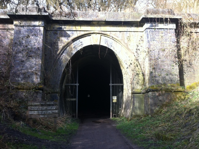
We recently blogged about the new Two Tunnels Cycle Route. However this is not the first or only tunnel on the National Cycle Network. The Oxendon Tunnel near Market Harborough is part of the Brampton Valley Cycle Route on NCN6. It is only 418 metres long and is straight so you can see the other end, but it is still an eerie experience travelling through it. Half way along there is an air hole which provides a bit of light. However if you do not have lights it is advisable to walk because the surface is pretty rough.
Each map shows the coverage area at a handy scale of 1:110,000. On the reverse there are some suggested day rides which shows what the region has to offer, and large scale town centre maps for easy navigation from the station to the NCN.
